
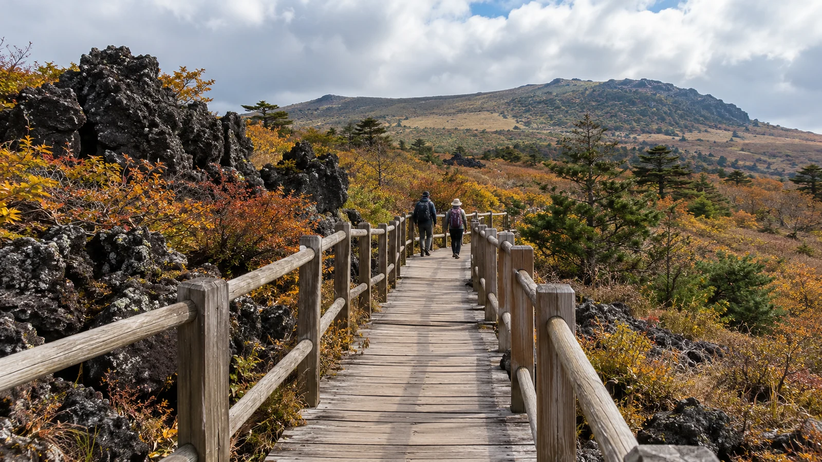
Missing a Hallasan summit reservation still leaves five other trails to consider—but none reaches Baengnokdam, the summit crater. Eorimok, Yeongsil, Donnaeko, Eoseungsaengak and Seokguram do not require the summit booking. Choose between a shorter walk and a substantial mountain day, then check whether that particular route is open.
Official information checked October 22, 2026. The park’s reservation-zone notice identifies these five trails as reservation-free. That rule does not override weather closures or entry cutoffs.
Which of the five fits your day?
Distances below are one way to the stated endpoint, using the park’s individual trail descriptions. Turning back along the same route doubles the distance; transfers and approach walks come on top.
| Trail and type of outing | One-way route to compare |
|---|---|
| 1. Eoseungsaengak (어승생악): shorter hilltop walk | Eorimok visitor-center area → Eoseungsaengak peak: 1.3 km |
| 2. Seokguram (석굴암): woodland walk | National cemetery parking area → Seokguram hermitage: 1.5 km |
| 3. Yeongsil (영실): mountain day | Yeongsil rest area → Witseoreum: 3.7 km, plus any approach walk |
| 4. Eorimok (어리목): mountain day | Trail entrance → Witseoreum: 4.7 km |
| 5. Donnaeko (돈내코): longer southern approach | Visitor information center → Nambyeok junction: 7 km |
A shorter walk: Eoseungsaengak or Seokguram
Eoseungsaengak starts beside the Eorimok visitor center. Its own hilltop is distinct from Hallasan’s Baengnokdam summit. A same-route return is 2.6 km, before walking from your actual parking place or bus stop. Visibility determines what you see from the top.
Seokguram starts at the Jeju National Cemetery parking area and leads through woodland to a hermitage. The listed route makes a 3 km return walk. Save the Jeju location carefully: this is not the famous Seokguram site in Gyeongju. Shorter distance alone does not establish that a trail suits every visitor or weather condition.
A mountain day: Yeongsil or Eorimok
Both routes reach Witseoreum (윗세오름). They offer a highland hike without reaching the crater. Beyond Witseoreum, the official full routes continue toward Nambyeok junction (남벽분기점): Yeongsil’s full distance is 5.8 km, while Eorimok’s is 6.8 km. The shorter table distances stop at Witseoreum deliberately.
Choose your turnaround before departure. Reaching Witseoreum does not mean you must continue to Nambyeok. Nor does a route drawn farther around the mountain provide a way onto the summit reservation section. Eorimok includes a steep ascent, and Yeongsil has steep ridge terrain; neither should be treated as an effortless substitute for a missed booking.
A longer southern route: Donnaeko
The Donnaeko trail runs 7 km to Nambyeok junction, via Pyeonggwe shelter. Returning the same way means 14 km of trail. It does not reach Baengnokdam. Pick it because that longer outing fits your ability, available daylight and transport—not simply because it needs no reservation.
Yeongsil’s “3.7 km” can become a 12.4 km return
The starting point changes the comparison. The official Yeongsil description separates the 2.5 km from the management office to the rest area from the trail beyond it. Someone walking from the management office has that approach to cover too.
| Same-way return to Witseoreum | Distance calculation |
|---|---|
| Yeongsil, starting at the rest area | 3.7 × 2 = 7.4 km |
| Yeongsil, walking from the management office | (2.5 + 3.7) × 2 = 12.4 km |
| Eorimok, starting at its trail entrance | 4.7 × 2 = 9.4 km |
These are our calculations from the published segments, not measured walking times. Confirm the precise drop-off or parking location before deciding Yeongsil is the shorter day. If entering by one trail and leaving by another, arrange transport between the different trailheads rather than assuming you will finish beside your car.
What about Seongpanak and Gwaneumsa without a booking?
The reservation boundary covers Jindallaebat to Baengnokdam on Seongpanak, and Samgakbong to Baengnokdam on Gwaneumsa. The lower sections can be walked without a summit reservation when open; they are not a way around the checkpoint.
Those lower walks are substantial: the official maps place Jindallaebat 7.3 km from Seongpanak’s entrance and Samgakbong 6 km from Gwaneumsa’s entrance. For a genuinely shorter alternative, compare the first two trails above.
Winter cutoffs: an open trail still has a deadline
The park’s September 30, 2026 winter notice defines October–March as winter. Its table gives these entry cutoffs, in Korean time:
| Entrance | Winter entry cutoff |
|---|---|
| Eorimok and Yeongsil | 12:00 noon |
| Donnaeko | 10:00 a.m. |
| Eoseungsaengak and Seokguram | 5:00 p.m. |
The same notice requires leaving Witseoreum by 3:00 p.m. and Nambyeok junction by 2:00 p.m. Entry cutoffs are not recommended starting times: you still need enough time to complete your route and descend. Check the park’s current trail status before traveling, including restrictions affecting the approach road. A different mountain trail is not automatically a suitable backup during a weather closure.
If the crater is the reason for your trip
Keep a summit reservation as a separate plan. The official notice says bookings open at 9:00 a.m. on the first working day of the preceding month. Use Korean time and check the released dates rather than assuming every calendar month’s first day is a working day.
Start from the official English Hallasan booking site. The login instructions direct foreign visitors who cannot use Korean identity verification to the foreign-language email-verification route. Select the entrance you intend to use, and follow the displayed QR and identification requirements. A booking for another person or entrance is not a substitute for the correct reservation.
Before you leave your accommodation
- Save the exact entrance and return point. Use the Jeju Bus Information System for the stop and service on your date. Count the walk from the stop separately.
- Carry food, drinking water and suitable equipment. The trail pages describe limited supplies; do not build the day around buying lunch on the mountain.
- Make transport part of the trail choice. Our Jeju driving routes cover the separate road-status decision, and the Jeju rental-car guide explains the documents to check before renting. Plan an airport-to-Seogwipo transfer separately from the journey to your trailhead.
- Keep the day’s promise realistic. Choose a hilltop walk, a woodland route or a mountain day. Only a valid summit plan, with the route open, offers access to Baengnokdam.